

You must log in or register to comment.
All those countries are in-continent.
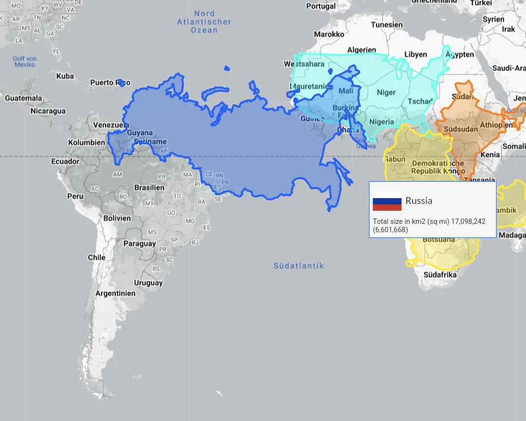
www.thetruesize.com is a fun interactive website for seeing how Mercator maps lie.
I think the contiguous US like in the picture is more like 8m km² isn’t it? 9.8 must be counting Alaska, Hawaii and maybe the territories.
I don’t like that Russia looks like they just took a Mercator projection and shrank to scale. Because of its shape and location, Russia is especially distorted by the Equatorial-centred Mercator.
Also what’s with the “excluding Russia” footnote?
Europe without the part of russia that lies on the continent.
But true, Russia at the equator looks like this:
A galloping sheep.
As opposed to the False Size of Africa
Literally what the Mercator projection is


